

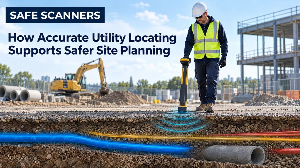
Every successful construction project begins with good information. Before excavation, drilling, cutting, or demolition starts, site teams need to know what is hidden beneath the surface. Unknown electrical cables, water pipes, gas lines, drainage systems, and communication conduits can create serious safety risks, cause costly delays, and disrupt nearby services.
That is why accurate Utility Locating is an essential part of responsible site planning. By identifying underground services before work begins, contractors can make better decisions, protect their teams, and keep projects moving with greater confidence.
Preventing costly surprises underground
A site may look clear on the surface while being filled with complex infrastructure below ground. Existing drawings can be incomplete, outdated, or inaccurate, particularly on older properties and busy urban sites. Relying on assumptions can lead to damaged utilities, emergency repairs, project shutdowns, and potential legal or environmental consequences.
Professional locating helps reveal what is actually beneath the work area. With a clearer understanding of underground conditions, planners can adjust excavation zones, select safer digging methods, and avoid placing new foundations or services where they may conflict with existing infrastructure.
Improving worker and public safety
Striking a live electrical cable or pressurised gas line is not a minor site incident. It can result in severe injuries, fires, explosions, flooding, or widespread service outages. Even less dramatic damage can expose workers and the public to dangerous conditions.
Accurate locating allows site managers to mark service routes clearly and communicate risks before machinery enters the area. This supports safer exclusion zones, more controlled excavation, and better coordination between contractors. It also helps reduce the need for rushed decisions when unexpected obstacles appear during construction.
Supporting informed design decisions
Utility information is valuable long before ground is broken. Architects, engineers, and project managers can use locating data to assess whether a proposed design is practical and safe. If a planned footing, drainage run, or access route conflicts with an existing service, the design can be adjusted early—when changes are simpler and less expensive.
For projects involving reinforced concrete, Concrete Scanning can help identify embedded items such as reinforcement bars, post-tension cables, conduits, and pipes. This is particularly important before core drilling, wall chasing, slab penetration, or structural modification.
Choosing the right detection method
Different sites require different investigation techniques. GPR Services use ground penetrating radar to detect changes below the surface and can help map both metallic and non-metallic features. GPR Scanning is useful for locating services beneath roads, slabs, floors, and other structures without unnecessary damage to the area being inspected.
For concrete structures, Concrete X-Ray Services may be considered when highly detailed internal imaging is required. The right method depends on the site conditions, access, depth, material, and the type of information needed. In many cases, combining non-destructive techniques with existing records and surface observations provides the most reliable picture.
Reducing delays and protecting budgets
Unexpected underground services can affect far more than safety. They can bring excavation to a standstill, require redesign work, delay follow-on trades, and increase equipment and labour costs. A short locating survey at the planning stage can prevent weeks of disruption later.
Accurate data also improves scheduling. Contractors can plan permits, traffic control, excavation methods, and specialist equipment with fewer unknowns. This makes the project easier to manage and gives clients greater confidence in delivery times and costs.
Making utility locating part of the planning process
Utility locating should not be treated as a last-minute check immediately before construction. It is most valuable when included during feasibility studies, design development, pre-construction surveys, and planning for high-risk activities.
The results should be documented clearly, with marked-up plans, site markings, and practical guidance for the teams carrying out the work. Conditions can change as projects progress, so locating may also need to be repeated when the work area expands or new information becomes available.
For construction teams, developers, and property owners, working with experienced specialists such as Safe Scanners can help turn hidden site risks into manageable planning information. The goal is simple: understand what lies beneath and within the work area before taking action. Accurate utility locating protects people, reduces uncertainty, supports better design, and helps projects stay on track. When site planning is based on reliable information, safer construction is not an extra—it becomes part of the process from the beginning.